The uAvionix Ecosystem Paves the Way for Safe Complex Operations
May 30, 2023 | Dawn Zoldi

The uAvionix Corporation was founded with the mission of advancing aviation safety through a connected airspace. Their solutions are accelerating the integration of both crewed and uncrewed aircraft systems (UAS) into the U.S. National Airspace System and paving the way for safe complex operations. For UAS, the company enables complex operations by providing a wide range of advanced equipment for airborne and ground command, navigation, and surveillance systems. When combined with aviation data and software services for managing command and control (C2) communications and detect and avoid (DAA) efforts, the low size, weight and power (SWaP) equipment creates a powerful ecosystem ready-made for scalable Beyond Visual Line of Sight (BVLOS) operations. The company built a solid reputation in the general aviation community with its innovative ADS-B products and cockpit displays, as well as for its low SWaP transponders for the defense sector. It has leveraged that experience and aviation know-how to roll out an entire ecosystem of products and services to support complex commercial UAS operations alongside crewed aircraft.
In this interview with Brit Wanick, uAvoinix’s Vice President of Marketing, he discusses uAvionix’s various commercial innovations, including the newly released truSky™ ADS-B spoofing detection, SkyLine UAS Beyond Visual Line of Sight (BVLOS) services, the uAvionix suite of radios, TSO certified GPS systems and the pingRID Remote ID Broadcast Module. Read on to learn how uAvoinix helps to provide commercial drone businesses with the confidence and required safety margin to confidently perform advanced UAS operations. 
Dawn Zoldi: Brit, uAvoinix has had a number of recent offerings for the commercial market. Tell us first about your truSky™ ADS-B spoofing detection.
Brit Wanick: Critical detect and avoid, or DAA, operations require data that can be trusted and relied upon by operators and air traffic controllers. Crowdsourced ADS-B networks lack the required integrity and design assurance for these operations. truSky™ combines a network of high integrity, dual-frequency (1090 MHz and 978 MHz) ADS-B ground receivers with a system that instantly analyzes the received signals to confirm they originated from the aircraft’s position. Effectively, truSky™ validates that an individual aircraft’s ADS-B signal is indeed coming from an aircraft and not being broadcast as a means to fake or spoof the signal.
Dawn Zoldi: Why did you create truSky? In other words, what problem were you trying to solve?
Brit Wanick: We saw the gap in capabilities that existed in the market. For Part 107 operators, ADS-B OUT remains prohibited right now. But the FAA has frequently required ADS-B IN as part of getting an approved BVLOS waiver. That’s because it augments the safety case. But how do you know those signals are trustworthy? That’s where truSky comes into play. Integrity matters. truSky validates the accuracy of the ADSB-OUT signal and then displays information in a simple visual way using a red-yellow-green stoplight approach. Green means you can have a high degree of confidence in the data and red means there is less confidence. This helps operators and controllers plan and execute their missions. It allows those that are applying for those waivers to stand behind the data that they receive and bolster their safety case.
Dawn Zoldi: Is truSky important to advance the industry?
Brit Wanick: Absolutely. Until truSky, validated ADS-B signals came at immense cost, requiring high-cost MLAT sensors, primary radar, or onboard Traffic Collision Avoidance Systems (TCAS) to correlate aircraft positions. Importantly, you need to have control over the network to apply the correct algorithms. Relying on crowd-sourced ADS-B just won’t allow you to have the deterministic approach needed.
Dawn Zoldi: truSky is part of your SkyLine UAS BVLOS services. Tell us about SkyLine.
Brit Wanick: SkyLine is the first cloud-based command and control (C2), infrastructure and asset management capability specifically designed around supporting the BVLOS safety case. It knits together data from a series of ground radio stations, airborne radios and a cloud-based infrastructure to give the operator a full sense of the strength of their C2 link to the aircraft. It also uniquely has the ability to bring in detect and avoid (DAA) information. All of this essentially gives the remote operator an electronic eye into the environment around the aircraft, not just from a visual perspective but from a digital one too.
Dawn Zoldi: How does SkyLine work?
Brit Wanick: The system provides both path diversity and frequency diversity to address a variety of operating environments and utilize the optimal communications link. Every link type has its own advantages and drawbacks. The SkyLine ecosystem allows an operator to take advantage of the best link for every second of every flight. For example, you can take-off with a point-to-point ISM connection, transition to LTE for extended range, then climb up into the atmosphere on secure C Band for 100 plus miles of range at 10,000 feet. Whatever your operational needs are, SkyLine analyzes and adjusts your connectivity on the fly, literally, eliminating the possibility of a lost-link scenario.
Dawn Zoldi: What problem were you trying to solve with Skyline?
Brit Wanick: Having an assured C2 network is key to the safety case for BVLOS ops. This means having both path diversity and frequency diversity. Those two things require multiple ground and airborne radios, so the system can continuously evaluate the relative strength of the signal and take proactive action to establish a make-before break connection prior to a lost-link scenario. It’s far more than just a fail-over to another LTE connection or SIM card. This prevents loss of control of an aircraft throughout the entire flight. We can combine all those bands and frequencies so that at any one point in time, the operator has the optimal connection. We measure signal strength and how well the aircraft is communicating.
Dawn Zoldi: What’s the value proposition for companies that use SkyLine?
Brit Wanick: SkyLine alleviates the need for companies to try to build out their own infrastructure or to figure out what radio frequencies will work where and when. We’ve done all that hard work. And SkyLine helps mitigate risks. With SkyLine, operators will know that their mission is going to be completed successfully. When you lay all that out for a regulator, it makes a really strong case for them to be able to approve a BVLOS waiver in support of a wide variety of operations, whether linear inspections on pipeline power distribution lines or looking at volumes coming out of a strip mine.
Dawn Zoldi: How do companies access SkyLine? What’s the business model?
Brit Wanick: We provide SkyLine as a service. There’s still hardware components that must go along with the aircraft and with the ground stations, but we configured SkyLine in the cloud to make operations easily repeatable and adaptable to a variety of operations. There’s also a set of APIs behind it. The entire system is built on a risk-based architecture so operators can pull that data into and integrate with existing UTMs and other services. We recognize that interoperability in this market is going to be a key factor. We, as an industry must work together to scale BVLOS operations. While we want to be able to provide companies with a means to be able to essentially operate out of the box, we also recognize the importance of integration.
Dawn Zoldi: Do you help companies stand up their BVLOS programs?
Brit Wanick: Yes. We are BVLOS experts, having done these operations thousands of times. What a BVLOS program stand up will look like will be different for each company and depend on the sophistication of their enterprise. A company may have their own network operations center (NOC). In that case, we would just integrate SkyLine into a part of those NOC standard operations. On the other hand, a company may have never flown a BVLOS operation before. For them, we might need to provide additional support in the form of procedures or processes. We will also maintain the hardware and the equipment in a way that keeps the system operating, as a part of that service. We basically provide a one-stop shop for BVLOS.
Dawn Zoldi: uAvoinix has already worked with a lot of organizations in the BVLOS arena, including as part of the FAA’s BEYOND program. Can you give us a couple of partner success stories?
Brit Wanick: Let’s start off with the Choctaw Nation of Oklahoma. They are one of the BEYOND sites and they’ve been fantastic partners for us. Most recently they received a BVLOS approval from the FAA utilizing SkyLine. They have a fantastic site that we can operate from and they allow others to come in and operate too. What’s important about the Choctaw range is that they have ground-based radar capabilities. That provides the DAA input that I mentioned earlier and that we can integrate. We look forward to working with them moving forward as a great operations site to showcase our capabilities and how they can be integrated with other products.
Dawn Zoldi: Besides the Choctaw Nation of Oklahoma, what other partner do you want to give a shout out to?
Brit Wanick: We have a lot of amazing partners, but if I had to pick one more to talk about, I’d have to say we are also very fortunate to work with the Vantis Network and Thales in North Dakota. We’ve used that site for quite some time. We flew our own aircraft up there. It’s been another great place for us to be able to test out a variety of different things in a harsh environment. We’ve proven the viability of our aviation grade hardware in subzero temperatures and snow. They’ve been very good about bringing in other partners and allowing us to demonstrate the capabilities that we have there. This helps to solidify proof for the BVLOS safety case and aids in creating a repeatable model for others. Vantis is a great example of creating the type of infrastructure that will be needed throughout the U.S. and worldwide to be able to take advantage of full spectrum drone operations. The types of C2 architectures that exist up there are going to be important for us to be able to achieve those outcomes.
Dawn Zoldi: uAvoinix has also created an entire ecosystem for BVLOS. Can you provide a quick overview of some of the other components, besides truSky, that make up the SkyLine ecosystem.
Brit Wanick: The SkyLine ecosystem consists of C2 radios operating in multiple frequencies, fixed and mobile installations, aircraft avionics, ground-based DAA capabilities and GPS. Our equipment allows companies to build a system that best suits their needs.
Dawn Zoldi: Tell us more about your radios.
Brit Wanick: Our ground radios include the SkyStation 915 and 5060 series. Those numbers refer to the frequency bands in which they operate, such as the aviation protected 5030-5091 MHz C-band. These can be connected to Power over Ethernet or LTE for networking and backhaul. Our ground radios can be fixed or mobile. Some ground stations are fixed and we can build into that backbone. Other radios must be portable and plug-and-play to roll out to the field immediately, such as for wildland firefighting or disaster relief. We also have airborne radios. We’ve miniaturized many of these capabilities to create low SWaP components that fit a small drone. We leverage our aviation grade expertise to create things in a very small form factor. This has put us at the forefront for airborne radio systems. Ours include the matching SkyLink 915 and 5060 series for which there is a standard and micro unit and then the muLTElink 915 and 5060 to add in the global LTE diversity.
Dawn Zoldi: What other tech do you want to highlight?
Brit Wanick: We also offer integrity-level TSO approved GPS called truFYX, to ensure the accuracy and integrity of locational data. An aircraft is only as reliable as the weakest link. Many operators invest a fortune into equipment to ensure a stable system but are forced to settle for a consumer-level GPS source. This impacts both integrity and accuracy, an especially important element for UAS. truFYX brings aviation integrity and design assurance to all aircraft including UAS and electric vertical takeoff and landing (eVTOL).
Dawn Zoldi: And all of this tech works together?
Brit Wanick: Yes. When you tie all of this together, add in ADS-B data from a broader network (our FlightLine), use truSky inputs, bring in radar, other DAA, weather data, UTM information and use our cloud-based architecture, now you have an integrated holistic common operating picture synthesized into one system for the operator. We’re pretty excited about that ecosystem. 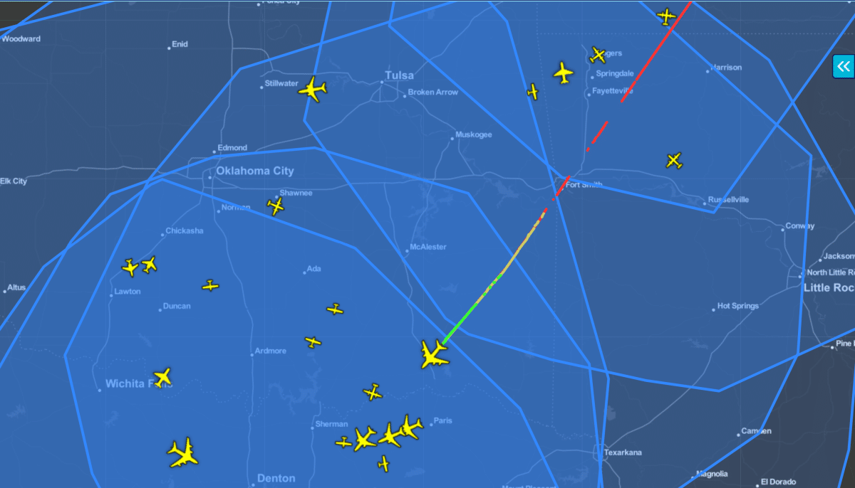
Dawn Zoldi: We can’t end this interview without talking about one of the hottest topics, Remote ID. In Feb of this year your company announced the launch of its Remote ID Broadcast module that would fulfill the FAA requirements. Tell us about it.
Brit Wanick: Our pingRID is a Remote ID Broadcast module for drones. It is an aviation-grade, small, lightweight transmitter that an operator can easily attach to the drone.
Dawn Zoldi: How does pingRID work? Where can folks get one?
Brit Wanick: First of all, it is small and light. It’s the size of a domino. You make sure it’s charged (using a USB charger) and the serial number is registered to your drone on the FAA website. Once turned on it acquires a GPS signal. You attach it with 3M lock-tape, velcro (so you can plug and play with all of your drones) and off you go for flying. It’s that easy. It’s the simplest and easiest way to be able to get people back in the skies as quickly as possible while meeting the requirements with the FAA’s Remote ID rule in Part 89. They’re available on our website.
Dawn Zoldi: What else can we expect in the coming months from uAvoinix?
Brit Wanick: We have a lot on our plate, including on the GA and defense side. For commercial UAS, we expect to expand our SkyLine capabilities with satellite communications as an alternate communication path. This will extend the range of operations. We are also considering other data sources such as weather in our ecosystem through our partners.
To learn more about uAvoinix visit: https://uavionix.com/
Watch Brit Wanick on the Dawn of Drones podcast here.
- Podcast
Related News