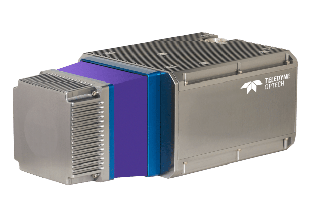
Compact LiDAR enables data-informed decision-making
June 29, 2021 | AUVSI News

Advancements in autonomous vehicle (AV) technology are driving innovations in a variety of use cases and hold the potential to provide a myriad of social benefits. As cities and states increasingly recognize the value of these benefits and grant authorizations for autonomous vehicles (AVs) to operate on shared streets, demonstrating safety to regulators and earning the trust of the public is top of mind for the AV industry.
AVs advancing along the continuum of autonomy rely on high-definition, precise digital maps to conduct routine, safe operations. One challenge facing AVs is that this data must be constantly updated in order to present realistic representations of road conditions.

Teledyne Optech’s CL-360HD enables the high resolution mapping information AVs need to know through survey-grade lidar scanning. Designed to provide a competitive advantage for mapping data providers, the multiplatform sensor maps precise location of road markings; asset inventory, like signs and poles; and road surface structures, like storm drains and repaired cracks.
By providing high-precision measurements and utility analysis, CL-360HD enables AV companies or the mapping systems that serve them to understand road conditions and thereby support safe autonomous operations.
Visit Teledyne Optech’s website or watch a video to learn more about how the CL-360HD’s survey-grade data precision can help your company develop products for mobile, static, UAV or airborne surveying markets.
- Industry News


