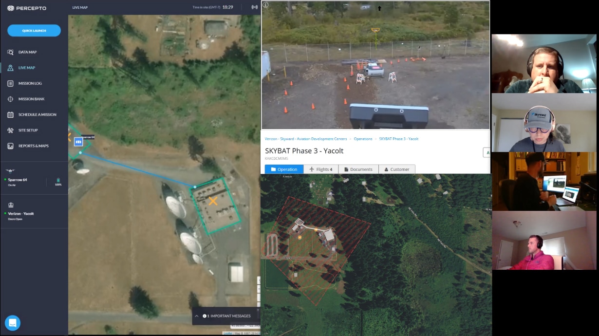
Esri announces two major capabilities in its UAS flight planning and processing solution
Esri has announced two major capabilities in its UAS flight planning and processing solution, Site Scan for ArcGIS, that will enable governments and critical infrastructure organizations to meet hardware and software regulations in the US and Europe.


