Unmanned Traffic Management (UTM) technology provider Altitude Angel has announced that software company Drone Harmony has opted to equip its flight mapping solutions with Altitude Angel’s market-leading data.
Advanced Navigation releases High-Performance, Ultra-Compact Inertial Measurement Unit (IMU) Advanced Navigation is pleased to introduce Motus 2, the second generation of their ultra-high performance MEMS IMU. Motus 2 pushes the performance boundaries of MEMS gyroscope technology to offer performance greater than many FOG systems in a tiny form factor, ideal for unmanned systems. Advanced Navigation's... Continue reading
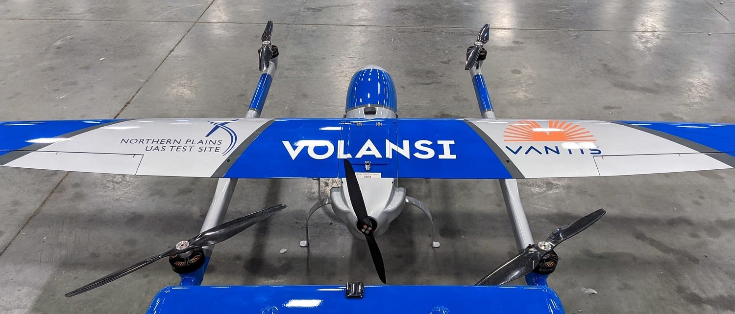
uAvionix has announced its participation in the deployment of North Dakota’s statewide Beyond Visual Line of Sight (BVLOS) UAS infrastructure and network, Vantis, which is led by the Northern Plains UAS Test Site.
Thales has announced that it has successfully completed the preliminary design review for the key site implementation of Vantis, the statewide UAS network for BVLOS operations in western North Dakota.
The University of Louisiana Monroe (ULM) has announced that it is joining the FAA’s Unmanned Aircraft Systems Collegiate Training Initiative (UAS CTI).
Simlat has announced that Purdue University’s UAS Program recently purchased and deployed Simlat’s simulation for UAS Traffic Management (UTM), POLARIS, along with Simlat’s C-Star UAS Simulator.
Last week, AeroVironment announced that the Sunglider solar-powered high-altitude pseudo-satellite (HAPS) achieved key test milestones during a September flight, including reaching an altitude of more than 60,000 feet above sea level and successfully demonstrating mobile broadband communication.