Black Swift Technologies contracts with NOAA to develop a backup navigation system for when standard GPS fails
February 4, 2021 | Amy French
Jamming. Spoofing. Interference from the landscape or cityscape. Interference from other flight equipment.
Such snarls arise often enough with satellite signals to make it clear: Routine UAS flight beyond the line of sight (BLOS) will likely never happen with traditional GPS technology alone. To assure safe travel over long distances, unmanned aircraft systems need greater capability to ensure accurate positioning and routing.
With the need for a GPS-denied navigation solution in mind, NOAA’s Small Business Innovation Research Program has contracted with Boulder, Colo.-based Black Swift Technologies (BST). The 10-year-old company, known for designing UAS that can fly scientific payloads in demanding environments, has agreed to spend the next two years developing a diverse-source global positioning system (DS-GPS) as a backup for standard GPS.
Basically, GPS is a single point of failure as far as a navigation solution,” said BST CEO Jack Elston. He ranked the need for GPS-denied navigation capability as perhaps the second greatest obstacle to BLOS, after the need for failsafe collision-avoidance technology.
“If GPS fails, you either have to have a very safe way of getting the aircraft down, which is not always easy beyond the line of sight if you happen to be flying over a city for package delivery or something like that. Or you have to have another method for getting your position.”
Instead of relying on satellite signals, the system that BST is developing uses augmented sensor suites. Sensors include cameras that enable machine vision and a software-defined radio that, together, help to ascertain the position of an aircraft. Also, by offering a basis for comparison, DS-GPS can help operators to gauge whether regular GPS is functioning correctly. GPS failure, Elston noted, can be hard to detect immediately – a point of uncertainty that underscores the risk of total reliance on GPS in BLOS flight.
In an early test that employed both standard GPS and machine vision to chart the same flight path, machine vision was able to match GPS keypoint by keypoint with a maximum error of 10 meters, Elston said. He expects that level of error should diminish considerably as development of DS-GPS continues.
Phase I of BST’s roughly $500,000 contract with NOAA began mid-2020 with a preliminary feasibility study. In January, BST got approval to enter Phase 2, during which the company aims for DS-GPS to reach commercial viability.
The biggest challenge, Elston said, will be finding the right data-gathering formulas for different flight conditions.
“We’re doing some fairly advanced machine vision algorithms,” he said. “So getting that integrated with the system will take some time. And it requires a lot of work to make sure that it works well above all sorts of different terrain and in different weather conditions, times of year, things like that.”
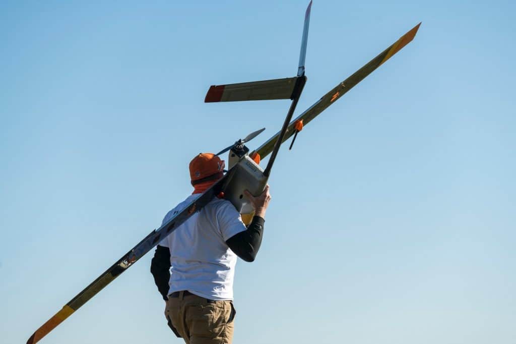
The end goal is a module that could be plugged into existing hardware on aircraft large enough and with enough battery power to be candidates for long flights. For testing, BST is using its own S2 UAS.
BST intends to market DS-GPS to NOAA for such uses as surveying U.S. coastlines as part of NOAA’s National Geodetic Survey. Without BLOS capability, coastline survey teams can map only 2 miles at a time before they must relocate.
Other applications for drones that could become vastly more efficient with BLOS capability include aerial imaging, environmental observation, precision agriculture, and infrastructure monitoring and inspection.
- Industry News