North Carolina A&T researchers to use drones to improve tropical forecasting and modeling
June 2, 2020 | AUVSI News
With a goal of improving tropical forecasting and modeling, a computational science and engineering faculty member and two Ph.D. students at North Carolina Agricultural and Technical State University (North Carolina A&T) will use drones to collect data from the eye of hurricanes.
In a project supported by NASA’s Jet Propulsion Laboratory (JPL), Hyoshin Park, Ph.D., and Ph.D. candidates Larkin Folsom and Justice Darko will look for ways to maximize the collection of data and possible flight paths in future storms. Park visited JPL during the summer of 2019 and used drones to formulate the problem of efficient hurricane data collection, in collaboration with Masahiro Ono, Ph.D., a research technologist at the laboratory.
“Our department’s innovative, artificial intelligence-based model explores the search space to improve the hurricane track and intensity,” Park, an assistant professor in the College of Engineering, says.
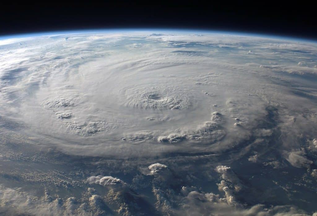
In 2014, the National Oceanic and Atmospheric Administration (NOAA) released two UAS into the eye of Hurricane Edouard. At the time, Hurricane Edouard was the first category three or stronger storm to form in the Atlantic Ocean since Hurricane Sandy. The UAS were the first-ever to be deployed into the eye of a tropical system, as they collected data inside the eye and the storm’s outer vortex, lasting for 68 minutes before plunging into the ocean.
To determine the storm’s wind-field and other important data, the team will use early measurements from NOAA when the hurricane is forming. This will provide the crew with the ideal location to drop up to 10 drones, which will communicate with each other and to their base on the plane, effectively collecting as much data as possible.
To determine the boundaries and structures of a hurricane, hurricane hunters have for years launched dropsondes, which are expendable weather reconnaissance devices, into the center of the storm, near its eyewall. The device is equipped with a GPS receiver, along with pressure, temperature and humidity (PTH) sensors to capture atmospheric profiles and thermodynamic data.
This method is important for the collection of important data for forecasting, but it requires aircraft and crew to drop to unsafe altitudes for a better view of the drop zone. Not only does this maneuver put the crew at risk, but it also takes more time and fuel, and the process also requires several dropsondes to gather sufficient data about the hurricane and its forecast.
The team will repurpose the methodology from Park and Folsom’s 2018 proposal funded by the National Science Foundation’s Division of Information and Intelligent Systems Robust Intelligence program. That study focused on maximizing collecting data for a Mars mission exploration of an unexplored environment with no flow of humans or traffic.
“This research is important because it will help improve hurricane forecasts, saving local economies money by more precisely constraining the forecast track and intensity,” Folsom says. “Locations that will not be impacted can keep their economies open, and those that will be impacted can more effectively prepare.”
Additionally, the research will help improve public trust in tropical forecasting, researchers say.
- Industry News